
Every Auckland Station | Akoranga
Every Auckland Station | Akoranga
Located just a short bus ride from the city centre, let's explore our first busway stop and first trip to Auckland's North Shore.

Welcome back to our sister publication Every Auckland Station, we have been on hiatus during the winter months but have returned from hibernation and are beginning our journey again this trip we are travelling to our first busway stop.
49 Train Stations, 22 Major Bus Stops and 14 Ferry Terminals, 1 place to find out the station's vibe, what’s nearby, a look into the station's past and what’s in the station's future.

AKORANGA | 5.28 km (direct line) from Waitematā Station (Britomart) and is a short 10-minute bus ride away from Victoria Park. It serves as the first stop on our busway journey, set against the backdrop of a windy winter night.


Historically the section of land that Akoranga Station is located on was part of the harbour/marsh, at one point in time sections of the land were filled in and the estuary rerouted to allow for the development of Fred Thomas Drive and create/expand Barrys Point Reserve.


Opened in February 2008 as part of the wider Northern Busway project, Akoranga Station is a major connector hub for bus services across the lower North Shore. It also connects the AUT North Campus with the Northern Busway.
The station mirrors the design of other Northern Busway stations, featuring two main stops, A and B, for busway services. Stop A serves city-bound buses, while Stop B, which is about half the length of Stop A, serves northbound buses. Buses access Stop B via the Esmonde Road access road, where the busway begins. Prior to reaching Akoranga, buses heading north travel in the shoulder bus lanes of State Highway 1 between the city and the station. For buses headed south toward the city, the busway passes under Esmonde Road and continues in a dedicated shoulder bus lane.


Buses are also able to loop around the station via the busway road to access stops C through F they can also enter these stops from Takapuna Landing and Esmonde Road. Auckland Transport buses aren’t the only users of the busway with a number of private operator buses, shuttles and ambulances allowed to use the busway.


In terms of amenities, Akoranga Station features a small park-and-ride area, a covered bike storage facility, a large indoor waiting room, public bathrooms, and vending machines for snacks and refreshments.


The indoor meeting room features a scale model of the Auckland Harbour Bridge, a plaque from the opening ceremony and the windows feature an etching of the MAXX logo to prevent people from walking into the glass.


The surrounding area is a mix of green space and businesses, with the AUT North Campus being a significant point of interest. Many students cross the bridge over the busway and State Highway 1 to travel between Akoranga and the campus. The area has mixed accessibility for those travelling on foot or by bike. The bridge from AUT North Campus connects to the Akoranga Drive Shared Path after a short detour through the campus. The Esmonde Road and Takapuna Landing access roads also connect to shared paths in the surrounding streets.
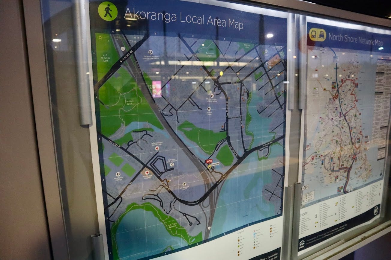


Another notable feature in the area is the Patuone Walkway, which connects Esmonde Road, Woolworths Takapuna, and Auburn Reserve. This walkway was upgraded by the council in October 2023.


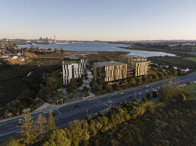
The former site of Takapuna's Harbourside Church is being transformed into the Amaia apartments.
The bridge at Akoranga Station is approximately 160 meters long and includes a small bike rack on the second level near Stop B. It also features a fire alarm sign midway across in case of emergencies that require the station to close.


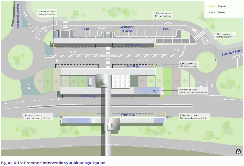
A few upgrades have been proposed for Akoranga, including extending the shelters and stops at Stops A and B to accommodate more buses, extending bus stop road markings, and constructing a roundabout to allow local buses to turn around without circulating via the Northern Busway, there is currently no set timeline for these works.